



Illinois and Missouri Under Alert for Severe Tornadoes
The National Weather Service has issued a tornado alert for large areas of central and southern Illinois and eastern Missouri affecting more than two million people, with the Storm Prediction Center elevating the forecast to a risk level 4 of 5 and warning of potential highly intense tornadoes with hurricane-force winds and destructive hail.

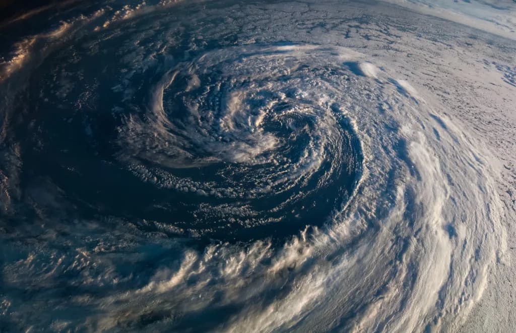
The National Weather Service has issued a tornado alert for large areas of central and southern Illinois and eastern Missouri. The watch, which will affect more than two million people, will remain active until 11:00 p.m. Authorities warn that highly intense tornadoes could form, with hurricane-force winds and destructive hail.
The Storm Prediction Center elevated the forecast to a risk level 4 of 5 for several parts of this region. This category indicates that weather conditions are favorable for the development of a severe storm outbreak. The main threat comes from a system advancing from Iowa and will cross the Midwest throughout Wednesday.
Among the cities under alert are St. Louis, Peoria, Springfield, Lincoln, and Champaign. Although Chicago is not directly within the main watch zone, the entire Midwest will feel the effects of the storms. Meteorologists recommend the population stay informed and prepared to seek shelter.
What Level of Tornadoes is Expected in the Region?
Authorities have warned that Wednesday’s weather presents a volatile configuration. According to Fox Weather, the Storm Prediction Center forecasts the possibility of multiple long-duration, high-intensity tornadoes. These could reach or exceed the EF3 category, which implies winds exceeding 136 miles per hour.
The risk will intensify during the afternoon and evening. An intense line of thunderstorms has already generated hurricane-force wind gusts of between 75 and 94 miles per hour in some areas of Iowa. As they advance toward Missouri and Illinois, the probability of tornado formation will increase significantly.
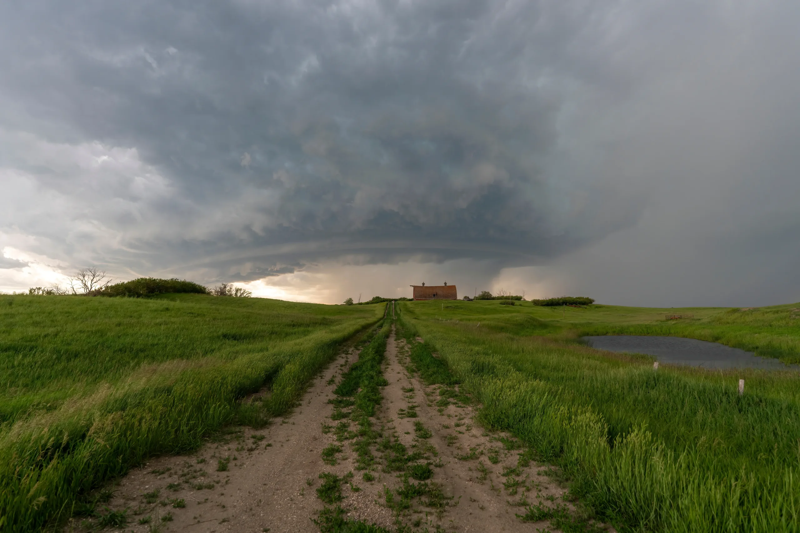
The development of supercells is the main concern for experts. These storm structures are most prone to generating persistent and destructive tornadoes. The CNN report highlights that the atmospheric configuration also favors the fall of hail the size of tennis balls in any of the storms.
The storm system will not be limited to a single wave. Meteorologists foresee that a second round of severe weather will form in similar areas during the afternoon. This second wave carries an even greater risk of tornado formation, which worsens the situation for residents of the affected areas.
What Counties and Cities are Under Watch?
The tornado alert covers numerous counties in both states. In Illinois, the watch includes areas such as Adams, Pike, Macoupin, Madison, St. Clair, Clinton, and Marion. These counties span the southern, western, and central regions of the state, where the greatest atmospheric instability is concentrated.
In Missouri, the risk is equally high
Canal oficial
Únete a nuestro canal de WhatsApp
Recibe las noticias más importantes al instante, sin spam. Solo lo que importa, cuando importa.

Comentarios
Inicia sesión para comentar
Es gratis y toma un minuto. Con tu cuenta también podés:
- Comentar y participar en la conversación
- Guardar notas para leer después
- Ver tu historial de lectura
- Recibir el boletín con tus temas favoritos